Insect Counter

Necrophilous Beetles

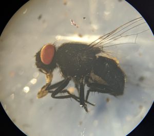
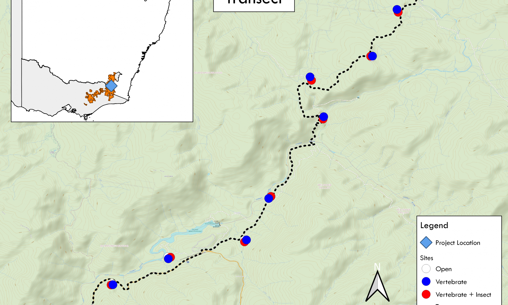
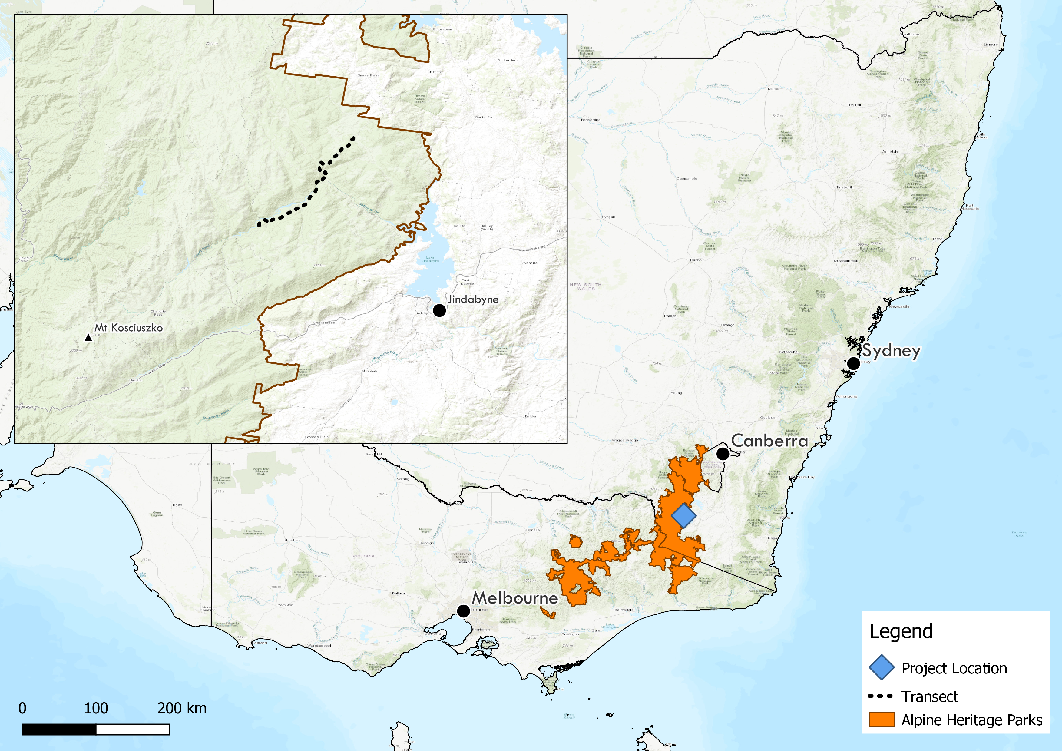
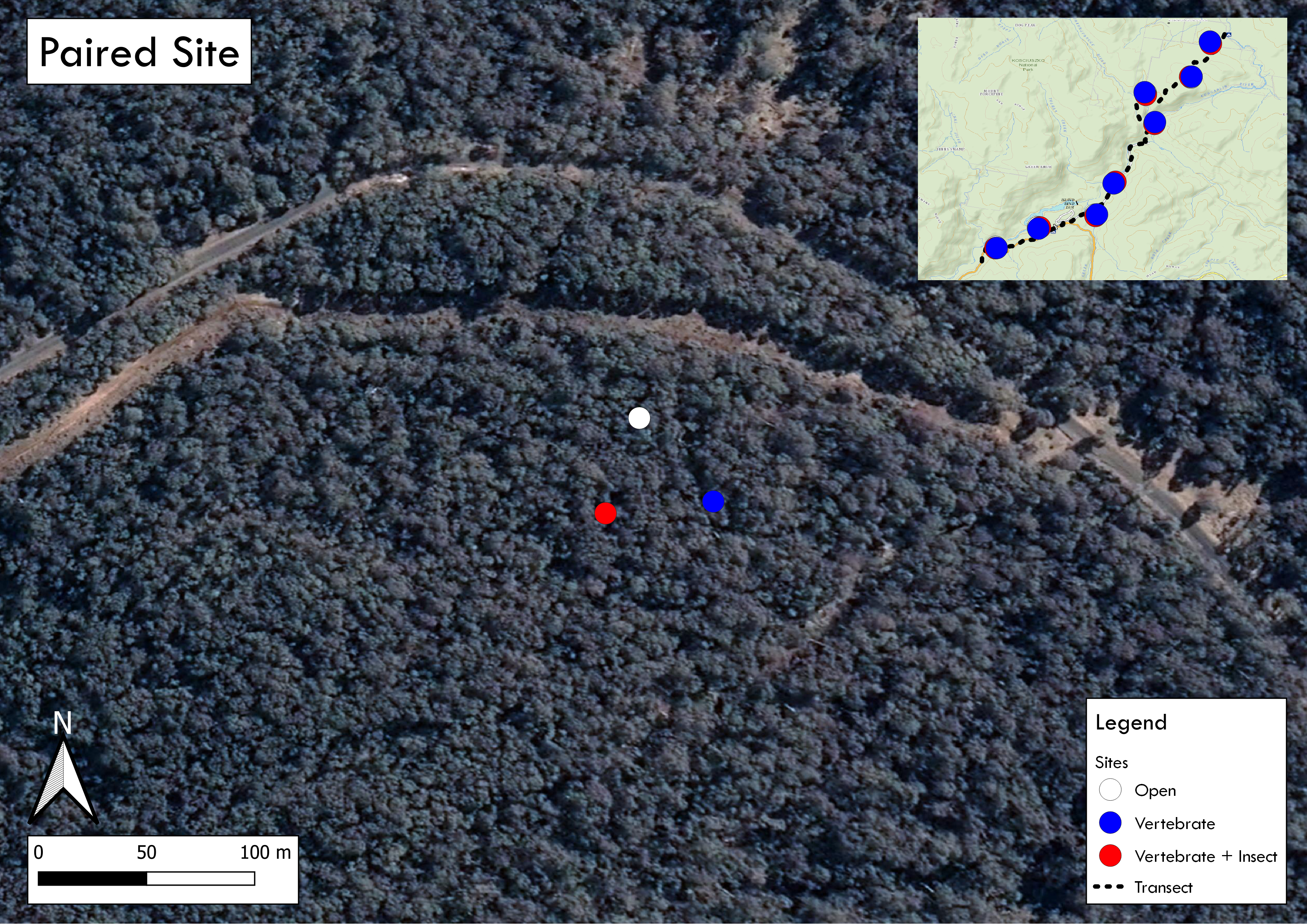
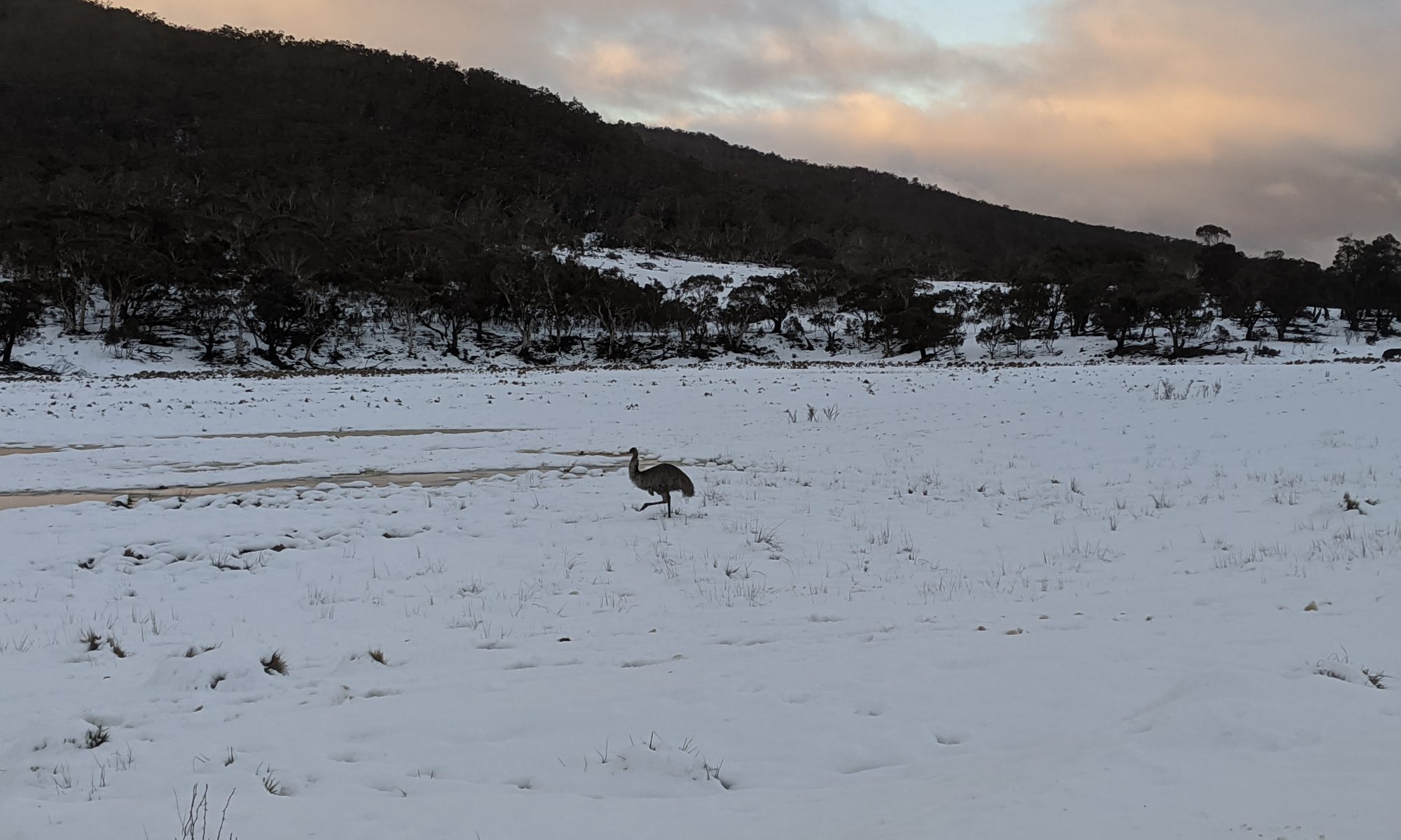
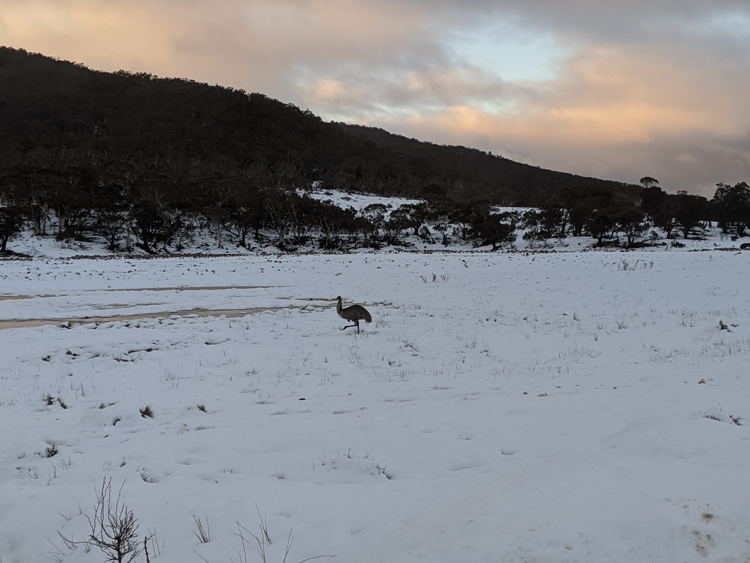
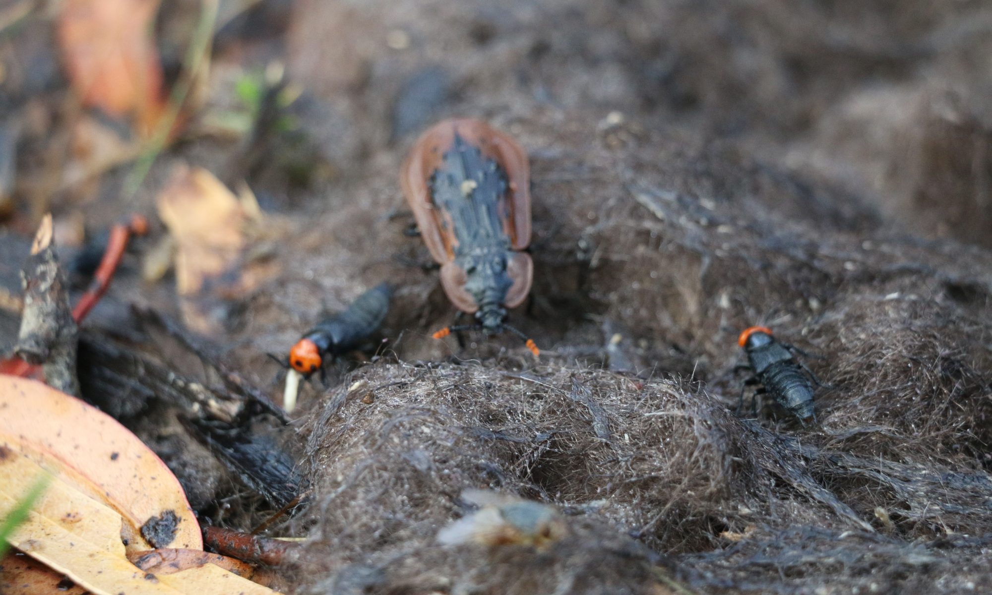
Hello world! For my research on scavenging guilds in the Australian Alps, I tallied nearly 30,000 insects. To do so, I made a quick web-based tool that I could quickly tally what I found. Its easy to use including features to copy the tally in a table format to paste into MS Excel.

I know this is a tool taylored specifically for my project, but I think its functionality can be applied for others out there.

Project Map

Experimental Transect

Hello world!

I’d like to share some maps I’ve made of my master’s project. I’ve conducted an ecological project looking at scavenging dynamics in the Australian Alps, specifically in Kosciuszko National Park in New South Wales. The maps show the Australian Alps (the highest region in mainland Australia) and my autumn replicate transect. The transect runs along Island Bend Fire Trail and Guthega road. Each site is roughly 1km distance from each other with treatments approximately 50m from one another.

Each site consists of three treatments 1) Open / No Exclusion, 2) Vertebrate Exclusion, and 3) Vertebrate + Insect Exclusion.

These maps were produced with QGIS version 3.2+.

Sn-Emus!

Record snowfall in the Snowies and these fellas are loving it! Benefits of data collection in Kosciuszko

Emu in the snow!

Winter fieldwork

It’s wintertime and time for another data collection session!

It’s hovering around 0 Celsius with some periodic snow showers here in Kosciuszko NP. This cold weather may suppress invertebrate scavengers and microbes but allows us to look at the direct contribution vertebrates have on carrion.

Setting up a trail camera with a standard height, angle, distance, and kick-butt mountain-man beard